
Were there wolves in Grass Valley? Yes, gray wolves (Canis lupus) lived throughout much of North America until the early 1900s, when they were almost eliminated by predator-control programs throughout most of the contiguous United States. They were certainly present in the foothills of the Sierra Nevada and the Sacramento Valley where their main prey items were deer, tule elk and pronghorn, an animal similar to an antelope. When the landscape of the Sacramento Valley became soggy in winter ungulates found it more difficult to range and escape predators because their sharp and narrow hoofs sunk into the ground, so they migrated into the foothills where they encountered indigenous hunters who were well aware of this pattern.
------------------------------------------
Wolf Creek is the main feature of a small foothill watershed that begins on the southwest slope of Banner Mountain, in Nevada County, at 3,400’. Every year there’s some snowfall at this elevation, but not much lately. The creek is about 23 miles long with 18 named tributaries. It contains a variety of life zones, but its upper reaches are predominantly in the lower ponderosa pine, incense cedar and black oak belt, with Douglas fir in its upper reaches. Grass Valley’s downtown, at 2,410’, was a gold mining town, but it’s becoming a tourist destination featuring historic buildings.
 |
| Wolf Creek Entering Downtown Grass Valley In the downtown area Wolf Creek and South Fork Wolf Creek [sic] are confined to puny channels and big culverts that were buried under tons of asphalt when the freeway between Grass Valley and Nevada City was completed in 1969. Wolf Creek flows out of Grass Valley, past the former North Star powerhouse, now a museum, and past a tributary called Little Wolf Creek, before it turns south and assumes a wilder look. |
 |
| Wolf Creek Flowing Parallel to Tin Loy Street in Downtown Grass Valley |
Most of the southern portion of Wolf Creek is private property and I’ve visited very little of it, although according to John Schaffer’s 1850 diary, “Wema’s village” was a mile downstream from Grass Valley and, based on another source (Crawford:2017) there is a salt marsh on a tributary downstream, which was probably used by the Nisenan and was considered a valuable trade commodity.

Usually, towns built along water courses are built near the mouth, at a confluence with other streams. But Grass Valley emerged close to the headwaters of Wolf Creek because gold was discovered at this location in 1849. From Grass Valley, Wolf Creek flows south to the Bear River at about 1,000’, which is in blue oak-savannah country close to the Nevada–Placer County boundary and just above Camp Far West reservoir. Bear River continues flowing to the Feather River in the Sacramento Valley where it flows south to the Sacramento River and eventually to the San Francisco Bay.
South Fork Wolf Creek is a three-mile-long tributary that begins near the Idaho-Maryland Mine on Brunswick Road. It parallels East Bennett Street on its north side. It originally joined Wolf Creek in a meadow-wetland environment. Today it disappears under asphalt and concrete in the flat area at the intersection with the freeway on-ramp and reappears squeezed between the freeway and the back of Safeway in downtown Grass Valley.

Grass Valley in 1851. Painting by Edward Fanshawe
RICH BEFORE THE GOLD RUSH
BIODIVERSITY AS A NISENAN RESOURCE
I looked at drawings, lithographs and maps depicting this valley, hoping to get a glimpse of how it looked 173 years ago when cattlemen and gold miners first arrived. In illustrations and verbal descriptions Grass Valley is consistently depicted as a gently rolling meadow area surrounded by conifers and hardwoods with riparian environments and intermittent wetlands.
The Nisenan are the indigenous people of the Wolf Creek watershed, who were hunter-gatherers with several camps and important settlements in the Grass Valley area. The prevailing landscape was the conifer forest surrounding meadows, wetlands and riparian stretches.
Areas where two ecosystems meet or intermingle creates a phenomenon known as the “edge effect.” It’s also known as ecotone. These overlapping life zones are typically very diverse and productive. The Nisenan were well aware of this process and managed the landscape to create small open meadows by burning and thinning. There is still a meadow out Bennett street on Empire State Park land (public land) and the former Loma Rica Ranch meadow, which is currently being converted into housing. Today, meadows are simply real estate to be profited from – that’s the way we live.
 |
| Meadow on South Fork of Wolf Creek (Bennett Street) |
There were numerous wetlands in the flats of the Grass Valley area. The native people created other ecotones where there were willows and other plants for basketry as well as habitat for plants, animals, fish, birds and invertebrates that made this a superb place to camp or settle.
There were also ecological niches that were much appreciated by the Nisenan. An example is the outcropping of serpentine located on Spring Hill, in the area of the Sierra Nevada Memorial Hospital, where, because of its unique chemistry and shallow soils, support particular plant species used as herbs and medicines. Also, on Spring Hill there are stands of gray pine, which produced highly desirable nuts. Typically, gray pine appears 10 or 15 miles downslope to the west. There is another serpentine outcrop west of town where Ridge Road meets the Rough and Ready Road.
 |
| Wolf Creek Flowing to Grass Valley |
Still another area, rich in biodiversity, was the Brunswick basin, a place that had seasonal streams, meadows and wetlands, which for thousands of years, flowed to Wolf Creek via Olympia Creek. In the historic period, a community gathering place was created here by damming the stream in the southwest portion of the basin and calling it Lake Olympia. Now it’s a shopping center and most of its former grassland-meadows and riparian habitat are paved with heavy construction going on in this area as I write. Just over the northern ridge bounding Brunswick basin (now Banner Mountain Road) are Gold Flat and Nevada City in the Deer Creek-Yuba River watershed.
As Wolf Creek leaves downtown Grass Valley and turns south, Little Wolf Creek enters from the east. This is a two-mile-long-creek that drains the low hills in what is today the Empire Mine State Park. Beyond the Little Wolf Creek culvert the channeling of Wolf Creek ends and it begins to resume its wild character.
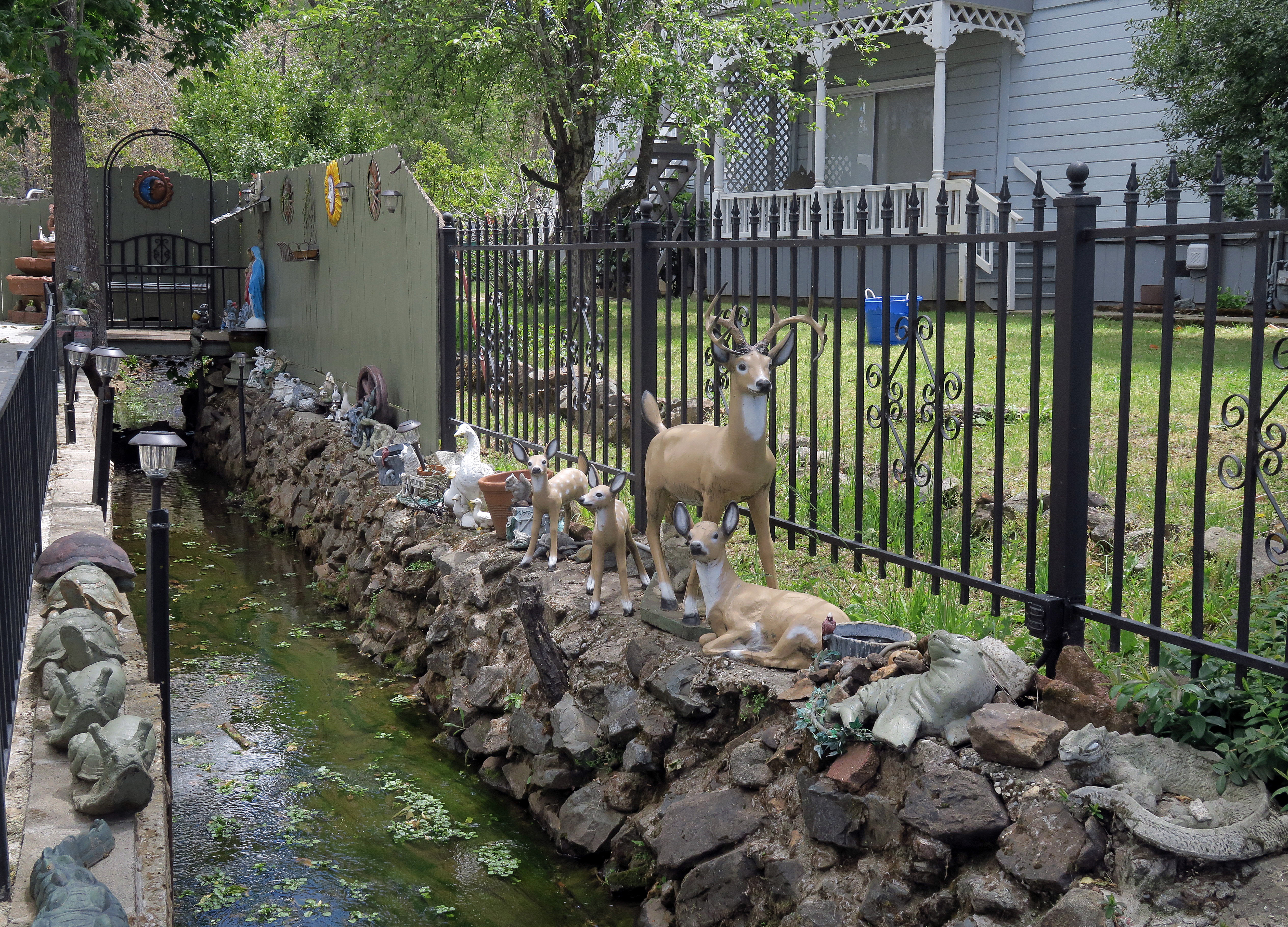 |
| South Fork Wolf Creek With Animal Statuary |
THE HISTORIC PERIOD
Grass Valley was the richest and most famous gold mining district in California. “The value of the total output of the lode mines is estimated to have been at least $300 million” (Clark 1992:54). In the early historic period the flatlands of Grass Valley were used for placer mining and sawmills, with some agriculture and orchards (there are still pear and apple trees around).
 |
| Former North Star Powerhouse on Wolf Creek. It's Now a Museum. |
In 1850 gold was discovered in a quartz outcropping on Gold Hill in Grass Valley and underground mining became all the rage prompting investors to build stamp mills and other mining facilities with limited knowledge about underground mining or any experience in separating gold from quartz. Despite being California’s highest producing lode mining region in 1855 this type of mining was in its infancy. To paraphrase a contemporary observer, mine managers were amateurs operating untested equipment. This led to poor performance and soured a taste for investment in the mines of Grass Valley. But, by the 1860s, a steady accumulation of experience, persistence and a high-grade ore body made the Wolf Creek watershed one of the most heavily mined watersheds in the world, renowned for innovation and production. Mined until 1957, Wolf Creek once had the greatest concentration of large hard-rock mines of any watershed in California.
The local tourism industry usually includes a shallow retelling of stories about the gold rush, which by the way, was over by the mid-1850s, “Mining is not a folk industry” said geographer, Richard Francaviglia. “By the early 20th Century all but the most marginal operations were either influenced by or came under the ownership of large multi-national corporations or mineral cartels.”
 |
| An Underground Map Showing a Cross-Section Near the North Star Mine Mine. The Tiny Dimple in the Top-Center of the Map is Wolf Creek |
Mining disturbance in the Wolf Creek watershed is well documented. Internationally renowned gold mines like the Empire, the North Star and the Idaho-Maryland and numerous smaller mines released mine waste and toxic contaminants into Wolf Creek and residual toxins continue to erode into the stream. Meanwhile, if you can believe it, the Idaho-Maryland Mine, at the head of South Fork Wolf Creek, is currently requesting a permit to resume mining for an 80-year period. the decision is up to the five member County Board of Supervisors.
 |
| A Segment of the Wolf Creek Trail |
Grass Valley’s citizens are becoming more concerned with the health of Wolf Creek than the vague prospect of jobs by investors from a foreign country. Reopening the Idaho-Maryland mine is a project that will severely impact Wolf Creek and the town’s well-being. The Wolf Creek Community Alliance (https://www.wolfcreekalliance.org) was formed to advocate for Wolf Creek in 2004 and in 2006 the City of Grass Valley approved the Wolf Creek Parkway. Today there is a small, but well-used, trail that genuinely contributes to the vitality and environmental awareness of Grass Valley. Even as I write, there is an ongoing public art performance (https://minersfoundry.org/project-wild-edges/) that merges with educational and scientific perspectives about consciously living in a biome. The first of many creative exchanges of ideas, I hope.
• • •
Crawford, Josie. Wolf Creek Watershed Disturbance Inventory & Assessment of Conditions: Part 1 Physical Abiotic Conditions (2017).
Clark, William B. Gold Districts of California, Bulletin 193. (1970).
Johnston, W.D. North Star Mine Geologic Cross Section [Map] USGS (1940).
Francaviglia, Richard V. Hard Places: Reading the Landscape of America’s Historic Mining Districts. (1991).